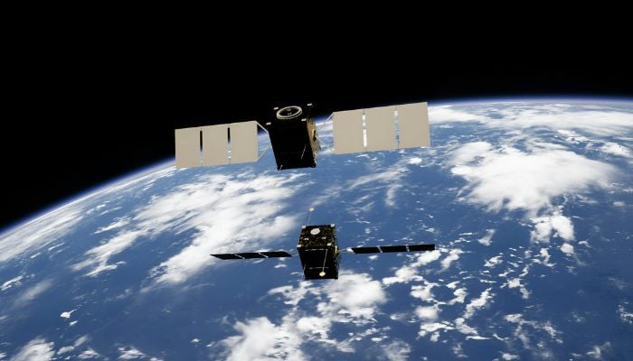
A major milestone for Pakistan's space program was reached on Thursday, when the nation successfully launched PRSS-II, its newest remote-sensing satellite, from the Xichang Satellite Launch Centre in China.
The Space and Upper Atmosphere Research Commission (SUPARCO) says this satellite will help the country in several important areas.
Enhanced disaster response capacity
An important factor in improving Pakistan's disaster response systems will be the PRSS-II satellite.
The satellite's ability to quickly assess damage following natural disasters like earthquakes or floods will help authorities plan and carry out relief operations more effectively.
Infrastructure development and urban planning
Important information for tracking traffic patterns, infrastructure development, and land use will be provided by the satellite.
This will make it easier for city planners to plan road networks, create sustainable urban environments, and monitor urban growth.
Water resource management and conservation
Pakistan's efforts to manage its water resources will benefit greatly from PRSS-II.
Flood prediction and long-term water security will be supported by the satellite's ability to monitor water flow, identify floods, and assist in reservoir management.
Food security and agricultural productivity
In order to estimate crop yields and spot early indicators of crop stress, the satellite will make it possible to observe farmlands.
Making timely decisions to increase agricultural productivity and guarantee food security will be aided by this.
Climate change observation and environment protection
PRSS-II will make it easier to track changes in the environment that are invisible to the naked eye.
It will be used to record long-term climatic trends, track soil erosion, and monitor glaciers.
Forest conservation and deforestation mapping
Additionally, by identifying illicit logging, evaluating the health of the forest, and providing information to conservation efforts against deforestation, the satellite will aid in environmental protection efforts.
The launch of PRSS-II is a major step in improving Pakistan's independence in space-based environmental management and monitoring, according to SUPARCO.
Moreover, wide-ranging effects on the nation's economic, social, and environmental well-being are anticipated from this development.


