The 3D view feature within Google Maps has undergone significant enhancements, portraying landmarks in vivid detail. Recent updates integrate these advancements into travel directions, offering users clearer visual representations of destinations and surrounding environments. Google has refined route details for in-car navigation, further enriching the user experience.
Observant Android Auto users have spotted the capability to view 3D buildings in Google Maps during in-car navigation sessions. While the smartphone app has long provided a close-up 3D view, ongoing testing indicates Google's plans to extend this functionality to Android Auto and Apple CarPlay in the near future.
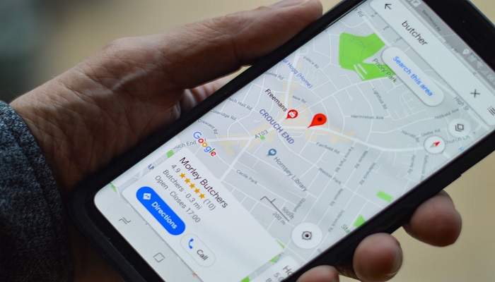
While a definitive global or US-wide rollout timeline for in-car 3D navigation remains elusive, users in Hong Kong and Canada have successfully activated this feature. Notably, tall structures appear transparent to ensure routes remain unobstructed. Accessing the 3D view involves tapping the layer icon and selecting "3D" under map details.
This incremental update could herald broader transformations initiated by Google through the "Immersive view". This feature aims to present locations with heightened realism while delivering crucial travel information. Users in select major cities around the world might already be experiencing this innovation.
Last February, Google commenced the integration of immersive view into Google Maps, blending Street View images, satellite imagery, and additional data with neural radiance fields and AI to craft lifelike 3D models of streets and building interiors. This enables users to explore simulated locations in real time, offering a comprehensive understanding of destinations from various perspectives.
Subsequently, in May, Google introduced an update extending similar intricate detailing throughout entire travel routes. Leveraging cloud-based rendering and machine learning, Google Maps now visualises directions with intricate representations of buildings, greenery, street signs, traffic conditions, and more.
Moreover, the app incorporates weather data to showcase how locations appear under diverse lighting and weather scenarios. Analysing historical traffic patterns aids in predicting traffic flow based on the time of day. Towards the end of last year, Google initiated the immersive view feature for routes in several cities worldwide, including Amsterdam, Barcelona, Dublin, Florence, Las Vegas, London, Los Angeles, Miami, New York, Paris, San Francisco, San Jose, Seattle, Tokyo, and Venice.
In parallel news, Google has commenced granting third-party developers access to rendering data from Google Maps and Google Earth, enabling them to craft specialised simulations. This development empowers venues or tourism groups to use Google's resources for presenting 3D previews of specific locations, further broadening the scope of immersive experiences.


