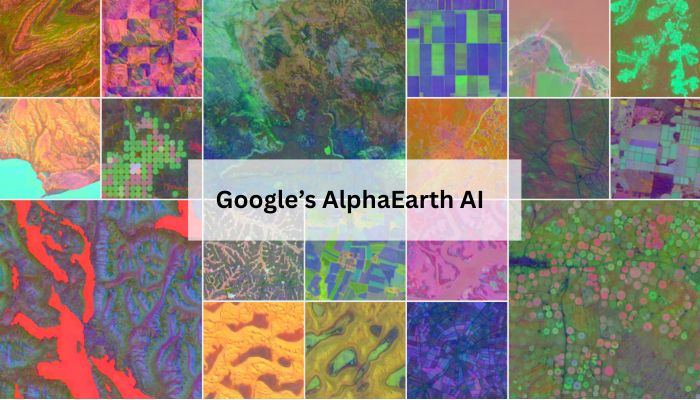
A new artificial intelligence innovation from Google may alter how we perceive our planet. The company has launched AlphaEarth Foundations, a new AI model that combines petabytes of Earth observation data, including satellite imagery, sensor datasets, and climate simulations, into one integrated, comprehensive digital map of our world.
With satellites collecting vast amounts of data every day about the Earth’s land and water, this data is important and useful. However, the information too often sits in disparate, complex and hard-to-use formats.
AlphaEarth Foundations solves this problem by serving as a type of virtual satellite, synthesising and translating streams of satellite images, radar scans, and laser mapping data into one simple digital representation.
This allows scientists to track issues like deforestation across the globe and track changes around food security, water resources, and urban growth.
To further their mission, Google is launching a Satellite Embedding dataset generated by Alpha Earth within Google Earth Engine. With over 1.4 trillion data points per year, this is one of the largest datasets of its kind.
Over 50 organisations, like the United Nations Food and Agriculture Organisation and Harvard Forest, have already piloted it, and they are using the technology to classify still unmapped ecosystems, monitor changes in agriculture, and help strategise conservation methods.
The impact is already visible. In Brazil, environmental group MapBiomas says the data will help them understand how farming and land use are reshaping the Amazon. In Antarctica, AlphaEarth is revealing surfaces that were previously almost impossible to map.


