An image of the illustration of Suparco' remote sensing satellite in orbit. — Suparco
Pakistan has achieved a major advancement in space technology with the launch and operational facility of its latest Remote Sensing Satellite (RSS), the Pakistan Space and Upper Atmosphere Research Commission (SUPARCO) stated on Friday.
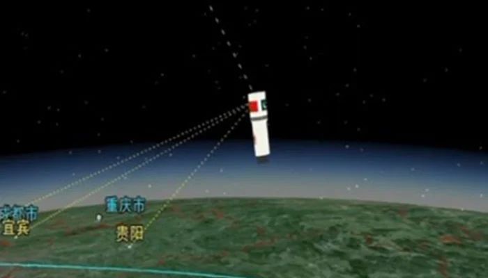
The satellite was launched on July 31, 2025, from the Xichang Satellite Launch Centre (XSLC) in China.
It has been established to have achieved normal contact with ground stations and has begun transmitting high-resolution images, a development expected to greatly enhance data reliability and availability for national projects.
According to SUPARCO, the satellite will have advanced imaging capability for diverse applications. These include urban development, infrastructure planning, and tracking the region because it will track growth and expansion trends in major metropolitan areas.
It will also enable disaster management through the ability to provide timely data for the issuance of early warnings and rapid responses to floods, earthquakes, landslides, and other calamities.
In addition, the system will be useful in conserving the environment and tracking glacier withdrawal, deforestation, and climate change monitors.
Along with this, the system will support environmental protection, tracking glacier melting, deforestation, and signs of climate change.
The agriculture sector will also be assisted to a great extent since the satellite will assist in practising precision agriculture, crop mapping, and better water control, affecting food security directly.
Apart from this, the new satellite will also be of great importance to strategic developmental projects such as the China–Pakistan Economic Corridor (CPEC).
By the mapping of transport networks, geohazard risk determination, and the aiding of resource distribution, the technology will aid in economic development and planning.


